Professional Drone Services
Fully licensed operators with comprehensive insurance.
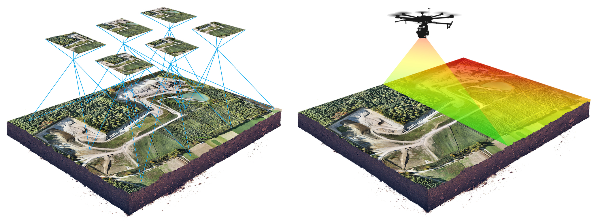
Industry-leading equipment and workflows for reliable results.
Fast data collection and delivery without compromising quality.
Strict safety protocols and risk assessments on every project.
Our Services
Industries We Serve
Our Process
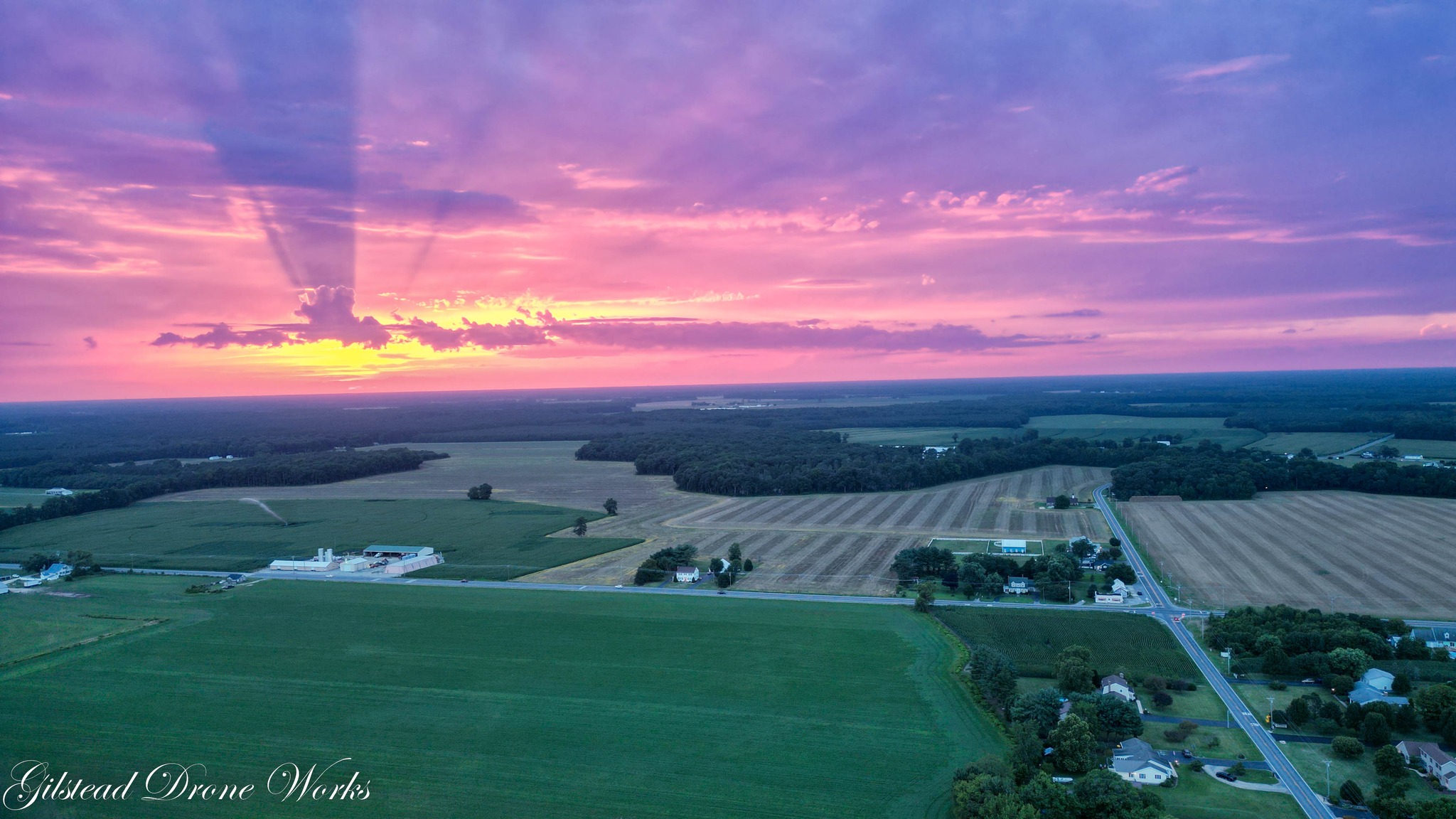
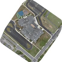
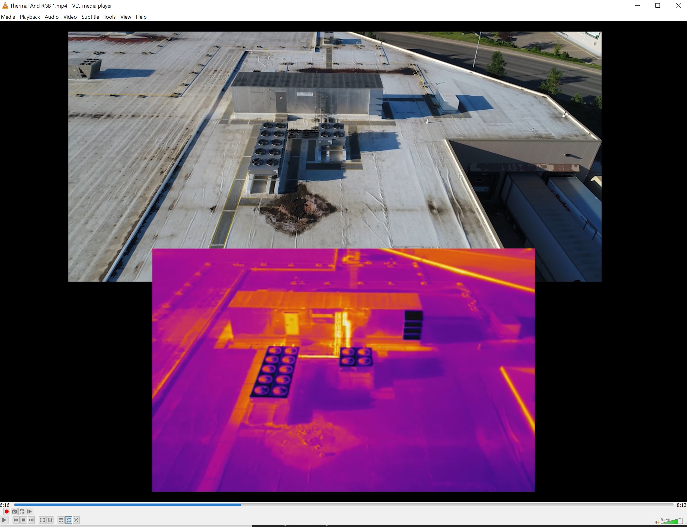
Recent Work
☎ (302) 853-2599✉ [email protected]⌖ Serving [Delaware, Eastern Shore of Maryland and Virginia]